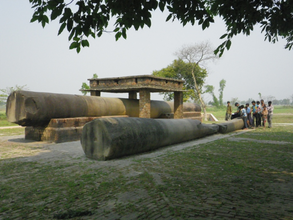
A Pillar buried in the ground
in a slanting position, showing a portion of capital was reported by Mr.
Carlleyle in 1877 at Rampurwā (Carylleyle 2000: 51). About 850 ft south of the Pillar he saw two large ‘stūpa’ mounds (20ft and 15ft high) and
a shattered stump of stone pillar exactly between the two mounds (Fig. 2 & 3). After
excavation at the North Pillar, he discovered Ashokan inscriptions on the Pillar.
Carylleyle noted that the Rampurwā Ashokan Pillar
along with the three other pillars of Bakhrā (Vaiśālī), Laoriya ara-raj (Arerāj),
Laoriya-navandangarh (Nandangaṛh) looked like a representation of the ancient
Magadha-Nipāl highway. Caryllyle expected to find a couple of more Ashokan Pillars further north in Himalayan valleys along the ancient trade routes (Fig-1).
‘Rampurwa pillar was
exactly on the ancient road leading into Nipāl. From thence there are three
passes leading across the second range of hills, called the Sidra Range, into
Nipā, namely the western pass, a central pass, and an eastern one. The Western
pass is called the Churiya Ghati. The central pass is called the Thori Ghati,
and runs along the Kudi Nadi. The eastern pass is called Goramasaon’ (Caryllyle
2000: 55).
In 1880-81 Alexander Cunningham inspected the site and shared same opinion as Carylleyle;
‘......... perhaps
the pillars were placed to mark out a high road into Nepal, or they might, with
equal probability, have been arranged to commemorate some great
march!’(Cunningham, Garrick 2000: 112).
Cunningham opened the two mounds but
didn’t share much information except a fragment of ‘Lingam’ that he
found at depth of 6ft. Cunningham most probably didn’t find anything
interesting to further continue the excavation or visit the site again.
 |
| Fig.1- Ashokan Pillars along the river Ganḍak |